From the Hohe Tauern to the Carnic Alps — Austria’s Largest and Most Geologically Diverse Project Group
~3,611 km²
Total License Area
3
License Blocks
target commodities
overview
Three Geological Domains in One Portfolio
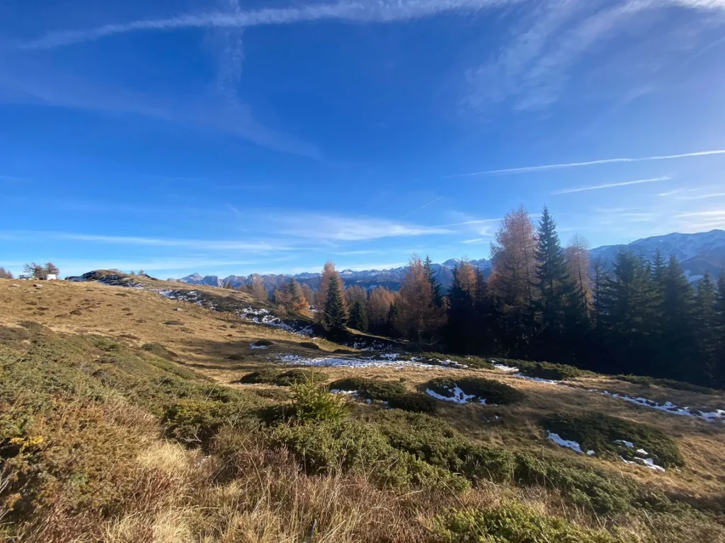
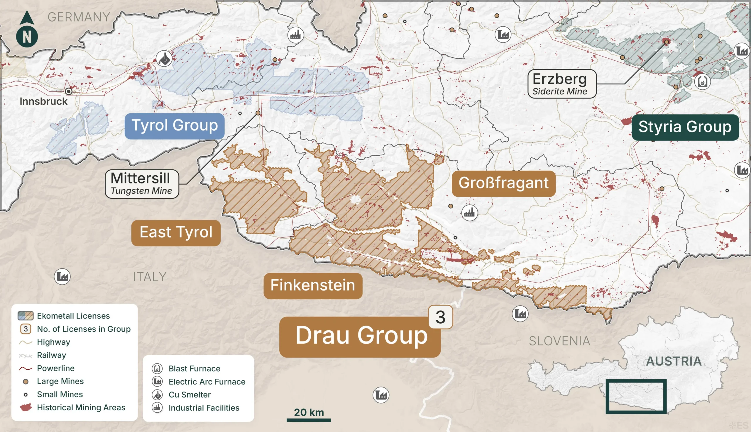
The Drau Group is Ekometall's largest and most geologically diverse project group. Three license blocks span from the Hohe Tauern southward through the Drau Valley corridor to the Carnic Alps along the Italian border — a transect that crosses three distinct geological domains in under 100 kilometers.
At the northern edge, Grossfragant captures the southern margin of the Penninic metamorphic core — the most deeply exhumed and mineralogically significant unit in the Austrian Alps. East Tyrol sits on the Austro-Alpine basement, while Finkenstein extends into the Carnic Alps where Paleozoic carbonates host classic Bleiberg-type lead-zinc mineralisation. The result is a single project group hosting VMS-style massive sulphides, stratiform base metal systems, and orogenic gold occurrences — each requiring different exploration approaches, but all falling within one consolidated land position.
Infrastructure
The group is served by the Drau Valley corridor, with the A10/B100 road network connecting East Tyrol and Carinthia northward through the Tauern motorway tunnel to Salzburg and beyond. Lienz serves as the primary service centre for East Tyrol, while Spittal an der Drau supports the Grossfragant and Finkenstein areas.
While more remote than the other groups by Austrian standards, the infrastructure is fully adequate for exploration and mining activities — as Ekometall’s successful drilling campaign at Tessenberg demonstrated in practice. Cross-border proximity to Italy via the Plöcken and Nassfeld passes offers additional supply chain options.
mining heritage
Alpine Gold and a Bronze Age-to-Modern Mining Corridor
The Drau Valley and East Tyrol corridor has a rich mining heritage, with gold, copper, and base metal workings documented from Roman times through the early modern period. The Hohe Tauern was a legendary source of Alpine gold, and the southern flanks captured by this group were actively exploited as part of that broader system.
Finkenstein’s position near the Carnic Alps, along the historic border zone between Austria, Italy and Slovenia, places it within a metallogenic belt worked continuously from the Bronze Age through to the twentieth century. Hundreds of meters of tunnels through the Finkenstein deposits — the Altfinkenstein and Neufinkenstein mines — attest to the scale of historical extraction. The Grossfragant mine targeted copper-rich ore from the 17th to early 20th century.
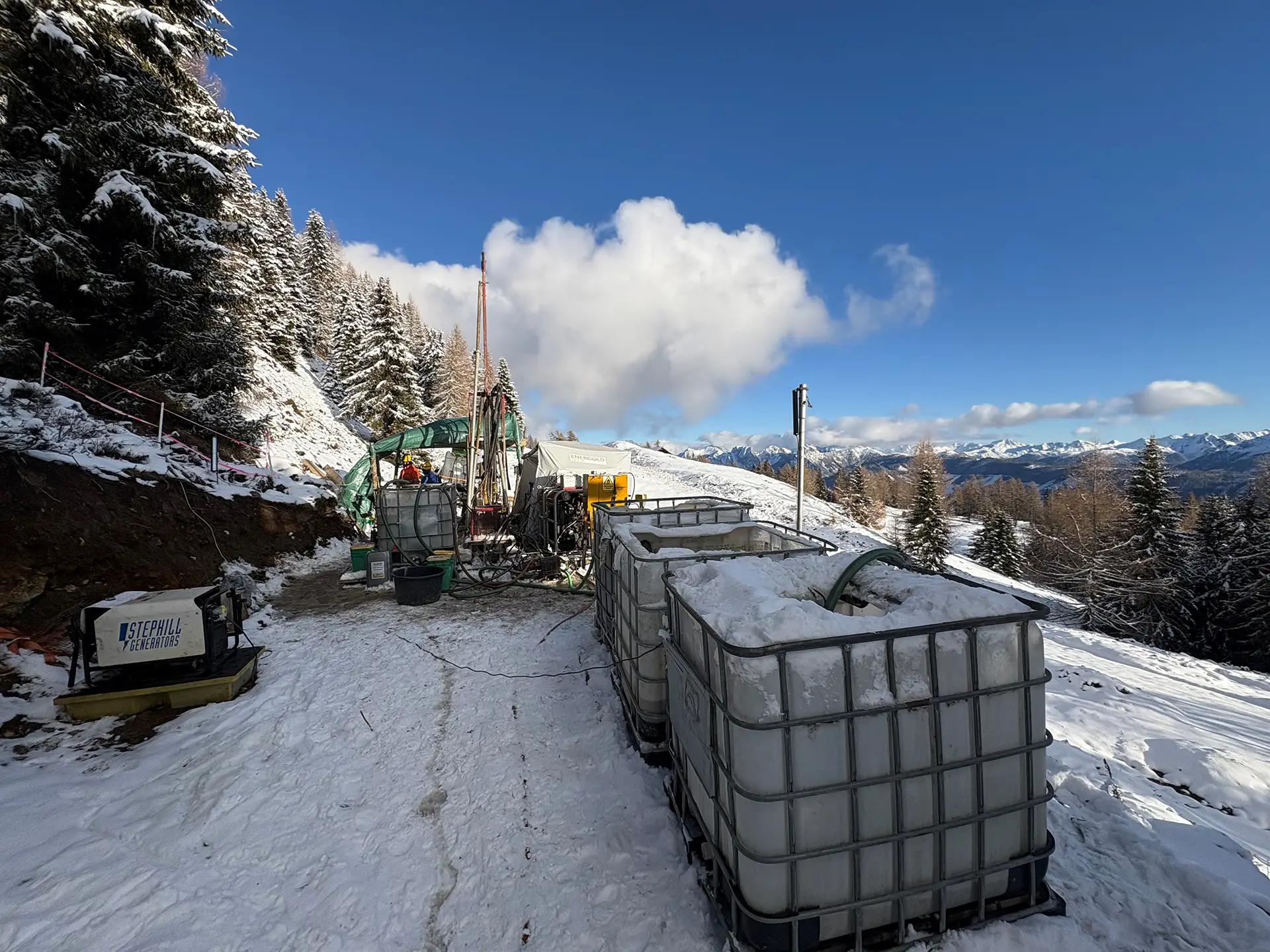
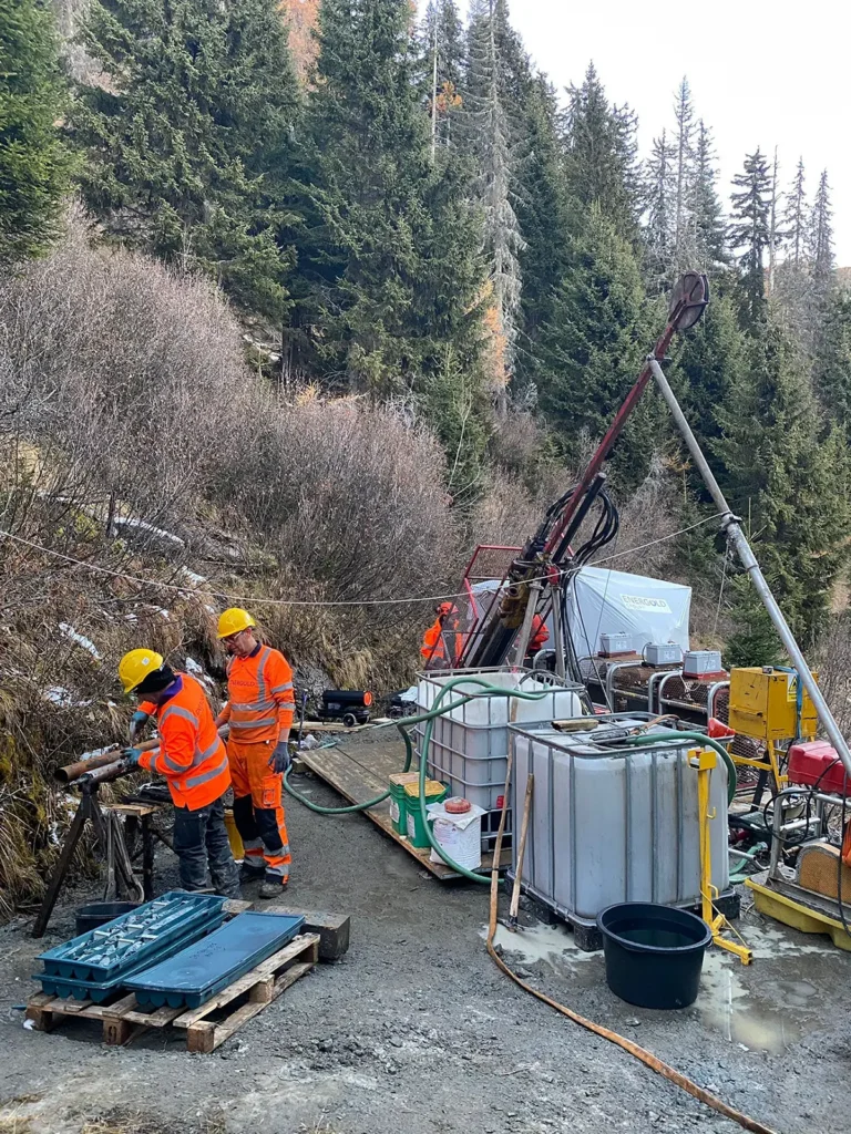
Tessenberg is the proof that the Ekometall Process works.
The pathway: 131 rock chip samples (up to 2.2% Cu, 54 g/t Ag, 0.3 g/t Au), soil orientation surveys, and ground geophysical campaigns identified an anomalous geomagnetic and geochemical signature over 1.8 km of strike, with massive sulphide outcrops confirmed within the trend. Three diamond drill holes totaling 500 meters of core were completed in late 2025, testing both magnetic highs and historically mined sulfide zones. Assay results are pending.
What’s Next
All three Drau Group blocks are in GexplOre Scraping Phase II — the most advanced data processing stage after Kelchalpe–Viehhofen. The combination of completed drilling at Tessenberg, active data processing across all three blocks, and the group’s geological diversity positions the Drau Group as a high-priority area for near-term target generation.Assay results from the Tessenberg drill campaign are pending. Additional reconnaissance and sampling is planned within the broader East Tyrol license area. Airborne geophysics planned for the Tyrol Group will inform prioritization of similar surveys across Drau Group targets.