overview
The Tauern Window — A Structural Boundary That Concentrates Metals
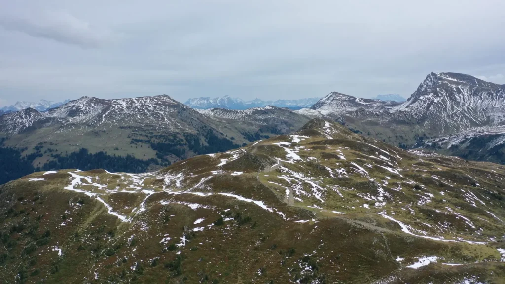
Both blocks sit along the northern margin of the Tauern Window, where the Greywacke Zone and Austro-Alpine cover units overlie the deeper Penninic metamorphic basement. The geology exhibits a complex interleaving of Greywacke Zone units, crystalline basement, and transitional Penninic rocks — a structurally active boundary zone that has focused repeated episodes of hydrothermal mineralization over geological time.
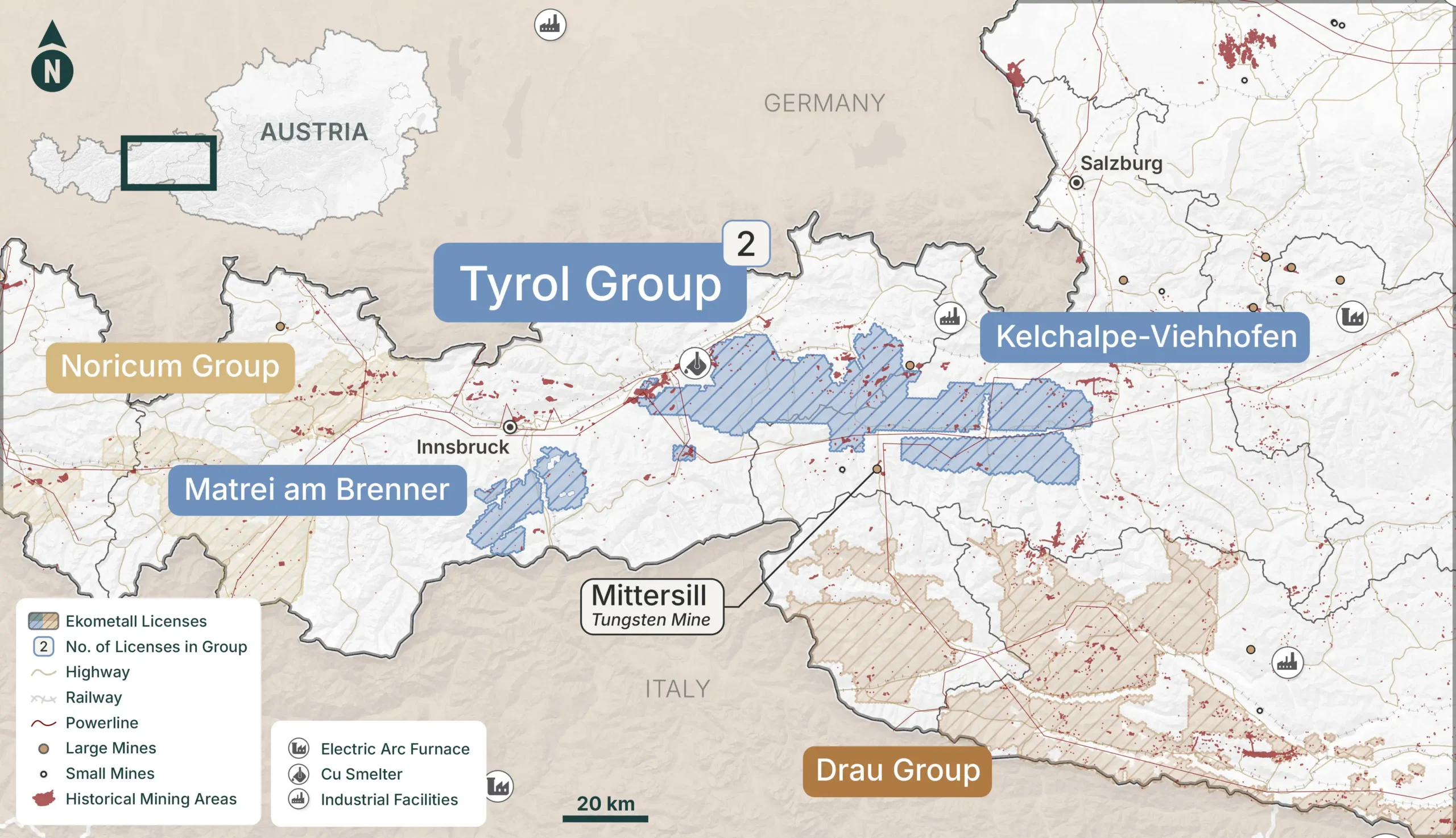
Kelchalpe captures a substantial strike length of the Greywacke Zone on the Salzburg side, while Matrei straddles the Brenner structural corridor — one of the Alps’ most significant tectonic lineaments. Together, these blocks represent the Tyrol Group’s strong connection to a deep and well-documented tradition of Alpine metal extraction.
Infrastructure
The Tyrol Group benefits from the Brenner corridor — Europe’s busiest transalpine transport axis — running directly through Matrei, served by the A13 motorway and the historic Brenner railway. Kelchalpe is accessible via the Zell am See/Saalbach road network with strong connections to Salzburg.
Both blocks sit within one to two hours of Innsbruck and Salzburg, providing access to skilled labor, equipment suppliers, and regulatory services. The Brenner Base Tunnel, currently under construction, will further enhance long-term regional connectivity and logistics capacity.
mining heritage
The Kitzbühel Legacy — Copper, Gold, and the Habsburg Mining Economy
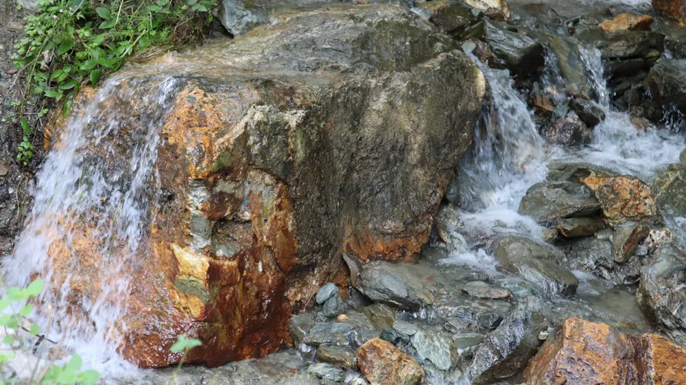
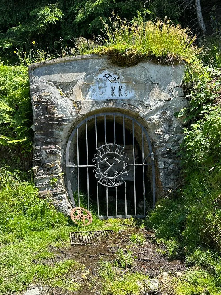
The Kelchalpe area near Kitzbühel lies within one of the most celebrated historical mining districts in the Alps. The Kitzbühel copper mines were among the most productive in the medieval world, making this region a cornerstone of the Tyrolean mining economy under the Habsburgs. Mining activity spans from prehistoric Bronze Age extraction through Roman-era gold workings to the intensive shaft mining of the 16th century — when the Röhrerbühel mine was the deepest shaft in Europe at 886 meters.
The Mühlbach, Mitterberg, and Kelchalpe operations produced copper continuously for centuries. By 1830, the Kupferplatte mine alone had 16,579 meters of underground workings and 2,243 meters of shafts. These are not small-scale historical workings — they are evidence of substantial mineral systems that were exploited at industrial scale, and that remain open at depth.
What’s Next
Kelchalpe is Ekometall’s most advanced project, with GexplOre data processing complete and multi-criteria prospect generation underway. Next steps include geological mapping, soil surveys, airborne geophysics (magnetics and electromagnetics), 3D modelling of historical workings, and drill target definition. The Tessenberg drilling precedent provides a proven template for advancing targets through permitting and into field execution.Matrei is in the earlier Data Aggregation stage, with archival records being compiled for the GexplOre pipeline.